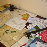
Even after repeated visits, I generally don’t feel that I have the sense of a place until I’ve studied it on a map. The right map can make you feel like you have an insider’s knowledge of a place. On a river, for example, you can find canoe launches, historic sites, dams and bridges, and the sources of feeder streams. You can see the shapes of the river’s course, and how it’s connected to the world around it.
County maps, canoe-route maps, regional maps, bike trails, birding trail maps, maps of state and county recreation lands…where can you find such a bounty of resources? “Bounty of Resources,” of course, is another name for the internet, and we’ll look at online maps in a future post. But for me, there’s no substitute for spreading out a map, Columbus-like, on a table to consider all the places I might explore. Continue reading


